A Guide to Navigating the Streets of New York City
New York City’s street system can be overwhelming for first-time visitors, but with a little knowledge, you’ll be navigating like a local in no time. Manhattan, the heart of NYC, is designed with a relatively straightforward grid system that makes finding your way easier than in many other cities.
This guide will help you understand the street layout, how to give directions to taxis and others, and important distinctions like the difference between East and West addresses. We’ll also provide insights into how the other four boroughs—Brooklyn, Queens, The Bronx, and Staten Island—are connected to Manhattan.
Understanding the Manhattan Grid System
Manhattan’s grid system was implemented in 1811 to create a more organized and navigable city. The vast majority of streets in Manhattan follow this grid pattern, making it much easier to understand compared to older cities with winding streets.
- Streets vs. Avenues: Numbered streets run east-west, while avenues run north-south.
- Direction of Numbering: Street numbers increase as you go north (uptown). Avenue numbers generally increase as you go west (from 1st Avenue on the east side to 12th Avenue on the west side).
- East vs. West Streets: Fifth Avenue divides Manhattan into east and west sides. Any address labeled “East” is east of Fifth Avenue, and any labeled “West” is west of Fifth Avenue. For example, 89 West 42nd Street is on the west side of Fifth Avenue, while 89 East 42nd Street is on the east side.
How to Know Which Direction You’re Going
- Street Numbers: If you’re on a numbered street, higher numbers mean you’re heading north (uptown) and lower numbers mean you’re heading south (downtown).
- Avenue Numbers: If avenue numbers are increasing, you’re moving west; if they’re decreasing, you’re moving east.
- Traffic Flow: Many streets are one-way, but a general rule is that even-numbered streets go east, and odd-numbered streets go west. However, some major thoroughfares, such as 14th Street, 23rd Street, 34th Street, 42nd Street, 57th Street, and 125th Street, are wider and accommodate two-way traffic, making them key crosstown routes for both drivers and public transit.
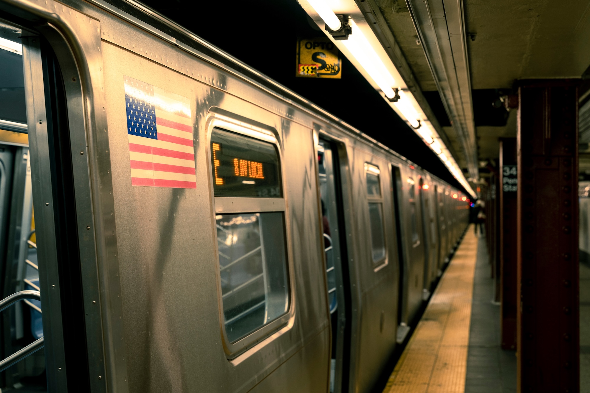
- Subway Stations: Subway stations often indicate whether you’re on the east or west side. For example, a subway stop labeled “42nd Street – Bryant Park (B, D, F, M)” is on the west side, while “42nd Street – Grand Central (4, 5, 6, 7, S)” is on the east side. In many cases, subway entrances will have signs indicating ‘Uptown’ or ‘Downtown,’ helping you determine your direction. Generally, uptown entrances are located on the east side of the street for northbound trains, while downtown entrances are on the west side of the street for southbound trains. However, at express stations, or large transfer hubs such as Times Square or Union Square, entrances and exits may be located on both sides of the street, and additional underground passageways may allow access to multiple train lines without needing to cross the street at ground level.
Giving Directions in NYC
When asking for or giving directions in NYC, locals typically use cross streets instead of a single address. For example, instead of saying “89 West 42nd Street,” you might say, “42nd Street between Sixth and Seventh Avenue.” Taxi drivers also prefer cross streets, so saying “42nd and Broadway” rather than an exact address is the best way to get where you need to go quickly.
Streets in Lower Manhattan
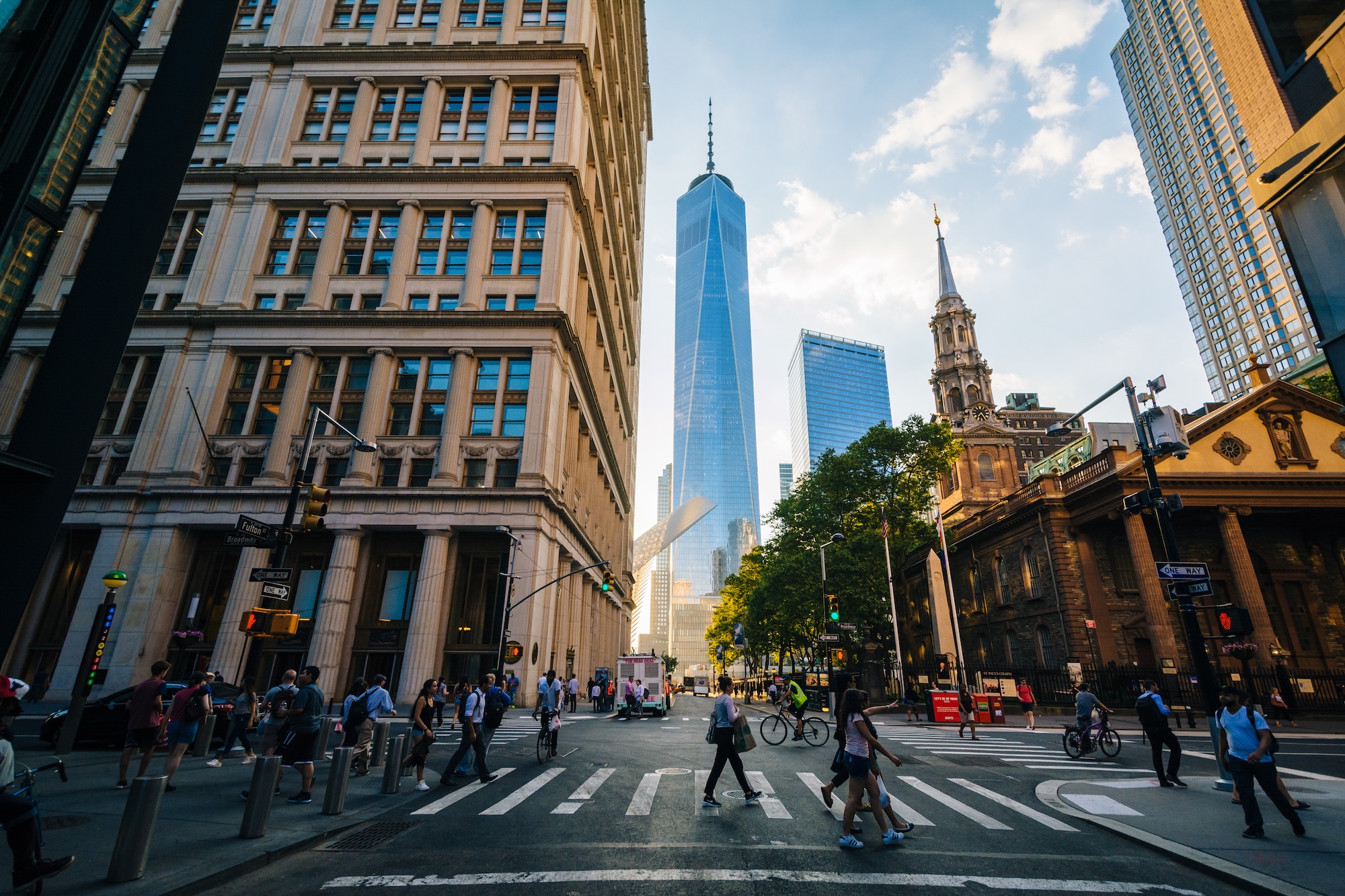
South of the Manhattan grid system, the streets of Lower Manhattan take on a more organic and historic layout, reflecting the city’s colonial past. The grid system begins to break down around 14th Street, with irregular streets emerging in neighborhoods like the Meatpacking District and the West Village before the grid officially ends around Houston Street.
Beyond this point, the streets become winding and irregular. This part of the city developed before the 1811 Commissioners’ Plan, leading to a maze-like arrangement of streets that can be challenging for newcomers.
- Canal Street was originally a drainage canal in the early 19th century, designed to control flooding from the Collect Pond. It was later filled in and became one of the city’s major east-west thoroughfares, now famous for its role as the center of Chinatown and a hub for shopping.
- Houston Street marks the boundary between the grid system and Lower Manhattan’s irregular streets. It was named after William Houstoun, a delegate to the Continental Congress, though its pronunciation has since evolved to “HOW-ston” rather than the Texas city’s pronunciation.
- Wall Street was named after the wooden defensive wall built by Dutch settlers in the 17th century to protect New Amsterdam. Today, it is the financial capital of the world, home to the New York Stock Exchange and countless financial institutions.
Navigating Lower Manhattan
Navigating Lower Manhattan can be tricky due to its irregular street patterns, so here are some tips:
- Use Landmarks: Recognizable locations like One World Trade Center, Battery Park, and the Brooklyn Bridge can help with orientation.
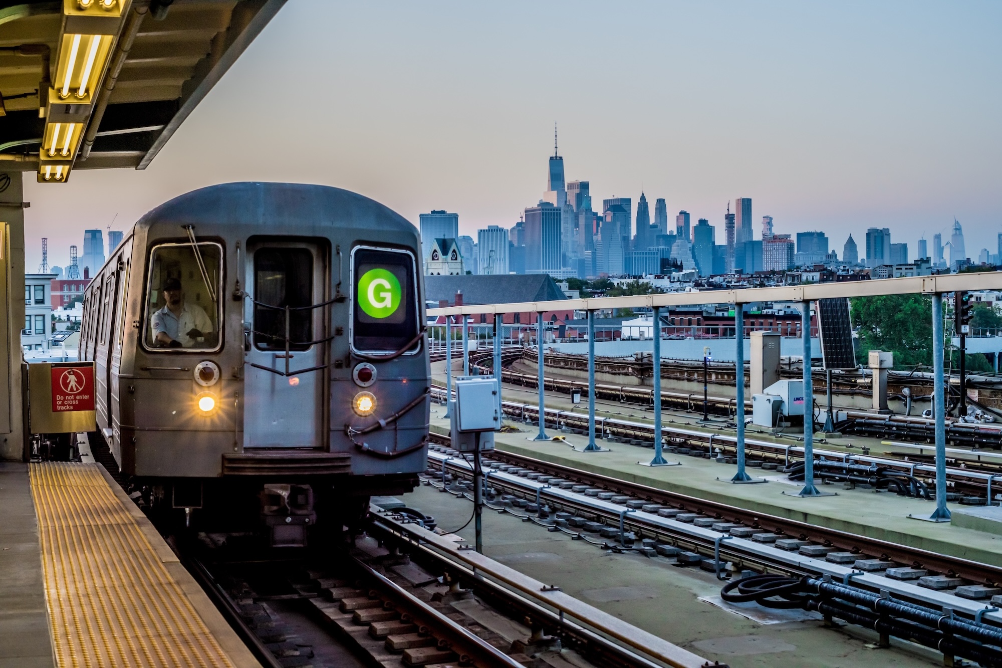
- Follow Subway Lines: Many subway lines converge downtown, making it easy to use stations as reference points.
- Rely on Street Signs: Unlike the grid system, numbered streets are rare here, so pay close attention to street signs and intersections.
- Walking and Biking: Due to congestion, walking or biking is often the fastest way to navigate Lower Manhattan, especially during rush hours.
While Lower Manhattan lacks the easy-to-follow grid, its historic streets offer some of the most fascinating sights in the city, making it an exciting area to explore.
Navigating the Other Boroughs
While Manhattan follows a grid, the other boroughs can be a bit more complicated.
- Brooklyn has both numbered streets and named streets, with some neighborhoods having their own grids.
- Queens is known for its confusing street naming system, with avenues, roads, drives, and places often having similar numbers (e.g., 72nd Avenue vs. 72nd Road). A useful tip for navigating Queens is to pay attention to the suffixes, as they indicate location and orientation—Avenues run east-west, while Streets run north-south. Drives, Roads, and Places typically follow more winding paths. Additionally, using landmarks and neighborhood names can help orient you, as Queens is divided into well-defined sections like Astoria, Flushing, and Jamaica, each with its own unique layout.
- The Bronx follows a partial grid, with numbered streets aligning somewhat with Manhattan’s system.
- Staten Island has a more suburban layout with winding roads rather than a grid system.
Bridges and Tunnels Connecting to Manhattan
Manhattan is linked to the other boroughs by several key bridges and tunnels:
- To Brooklyn: Brooklyn Bridge, Manhattan Bridge, Williamsburg Bridge, and the Brooklyn-Battery Tunnel (Hugh L. Carey Tunnel).
- To Queens: Queensboro Bridge (59th Street Bridge), RFK (Triborough) Bridge, Midtown Tunnel.
- To The Bronx: RFK (Triborough) Bridge, Willis Avenue Bridge, Madison Avenue Bridge, and more.
- To Staten Island: The Staten Island Ferry (free), Verrazzano-Narrows Bridge (also connects Staten Island to Brooklyn).
Conclusion
Understanding NYC’s street system will make your visit much smoother, whether you’re walking, taking the subway, or hailing a cab. While Manhattan’s grid makes it relatively easy to navigate, the other boroughs have their own quirks. With a little practice, you’ll be navigating the city like a true New Yorker in no time.
5 Additional Facts About the NYC Street System
1. History of the Grid
The Commissioners’ Plan of 1811 established Manhattan’s famous grid, aiming for an orderly and efficient city layout. The plan was devised by a commission led by Gouverneur Morris, John Rutherfurd, and Simeon De Witt, who envisioned a city designed for growth and accessibility.
John Randel Jr., a surveyor, was tasked with mapping out the grid, meticulously measuring the landscape and ensuring the accuracy of the plan.
The grid consists of long, straight avenues running north-south and shorter, perpendicular streets running east-west, creating rectangular blocks that allowed for easy navigation and uniform property division. The decision to implement a grid was forward-thinking, anticipating the city’s future expansion and avoiding the chaotic layout found in many older cities. This structured plan not only facilitated rapid urbanization but also set a precedent for city planning worldwide.
2. History of Park Avenue
Originally called Fourth Avenue, Park Avenue was renamed and beautified to accommodate wealthy residences and businesses, making it one of the most prestigious addresses in the city.
At one point, it featured an actual park with a walkway and benches running down its center, providing a green refuge in the bustling city where people could sit and stroll in between the traffic running north and south around them. However, in the 1920s, the park was removed to widen the street and accommodate increasing traffic. The median of the avenue was once 56 feet wide, but is now only 20 feet wide.
Park Avenue itself came into existence by covering the train tracks that originated from Grand Central, first by sinking the tracks below street level in the 1870’s and covering them north of 56th Street, then fully covering the tracks north of the newly completed Grand Central Terminal in 1914 creating space for wide malls and allowing for the expansion of both transportation and real estate development in the area.
3. Total Street Mileage
New York City has over 6,000 miles of streets.
4. Daily Traffic
Approximately 3 million vehicles enter the city each day, with about 4 million vehicles traveling on NYC streets in total. Additionally, more than 1 million vehicles cross into Manhattan daily via its bridges and tunnels, contributing to the city’s bustling transportation network.
5. Broadway Fun Facts
Broadway is one of the only major streets that runs diagonally through Manhattan, breaking the grid and creating unique intersections like Times Square and Herald Square.
Originally a Native American trail, Broadway predates the grid system and was later expanded by Dutch and British colonists as a main thoroughfare through the island. Today, Broadway is synonymous with theater, much like Hollywood is for the movie industry.
The first theaters appeared on Broadway in the mid-18th century, but it wasn’t until the late 19th and early 20th centuries that Broadway became the epicenter of American theater. Landmark theaters such as the Lyceum Theatre (built in 1903) and shows like The Black Crook (1866) helped cement its reputation.
The section of Broadway known as the Theater District, concentrated around Times Square from 40th to 53rd Street, is home to most of the city’s famous theaters, even though Broadway itself stretches for 33 miles from Lower Manhattan to Sleepy Hollow in Westchester County.


